S2 Geometry
A unique feature of the S2 library is that unlike traditional geographic information systems, which represent data as flat two-dimensional projections (similar to an atlas), the S2 library represents all data on a three-dimensional sphere (similar to a globe). This makes it possible to build a worldwide geographic database with no seams or singularities, using a single coordinate system, and with low distortion everywhere compared to the true shape of the Earth. While the Earth is not quite spherical, it is much closer to being a sphere than it is to being flat!
If you want to learn more about the library, start by reading the Overview and QuickStart document, then read the introduction to the basic types
S2 Features
Notable features of the library include:
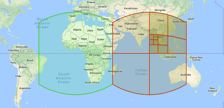
- Flexible support for spatial indexing, including the ability to approximate arbitrary regions as collections of discrete S2 cells. This feature makes it easy to build large distributed spatial indexes.
- Fast in-memory spatial indexing of collections of points, polylines, and polygons.
- Robust constructive operations (such as intersection, union, and simplification) and boolean predicates (such as testing for containment).
- Efficient query operations for finding nearby objects, measuring distances, computing centroids, etc.
- A flexible and robust implementation of snap rounding (a geometric technique that allows operations to be implemented 100% robustly while using small and fast coordinate representations).
- A collection of efficient yet exact mathematical predicates for testing relationships among geometric primitives.
- Extensive testing on Google’s vast collection of geographic data.
- Flexible Apache 2.0 license.
Table of Contents
-
About S2
-
Tutorials
-
Developer Guides
-
Resources